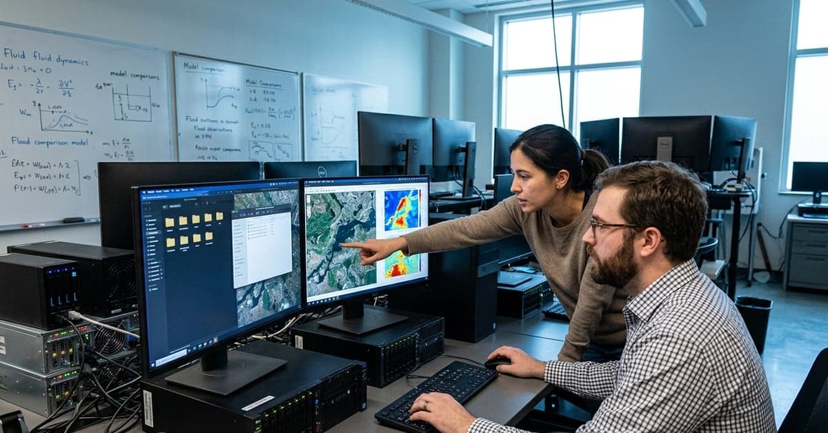
Using rare NASA satellite observations of the 2023 Kakhovka Dam collapse, Georgia Tech researchers say widely used flood tools missed both peak water levels and timing. The finding, highlighted on the School of Earth and Atmospheric Sciences (EAS) home page, puts a new spotlight on Georgia Tech flood models and the unit’s direction (EAS).
What the Georgia Tech flood models study found
According to EAS, the team used unprecedented satellite data from NASA to test how popular inundation models performed after the Kakhovka disaster in Ukraine on June 6, 2023. The group reports that these models underestimated both water levels and the arrival of flooding, a one-two miss that matters for evacuation timing and risk mapping. NASA’s surface-water missions, like SWOT, were designed to capture changes in rivers, lakes, and reservoirs at high resolution; that kind of dataset offers a hard check on model claims.
The headline is simple: when extreme events break the usual assumptions, models trained on historical patterns can lag the physics on the ground. That gap becomes visible only when independent measurements are precise and rapid. Here, rare orbital snapshots exposed the difference.
How open-source solvers can sharpen Georgia Tech flood research
EAS isn’t treating that result as a one-off. The school points to a concrete follow-on: Georgia Tech will host the 2026 MFEM (Modular Finite Element Methods) Community Workshop from September 22-25, 2026, bringing an open-source solver community to campus (EAS). MFEM is a widely used toolkit for partial differential equations across physics and engineering. Its methods also underpin many earth systems applications, from groundwater flow to coastal surge. The MFEM project’s own site describes broad use in multiphysics simulation and adaptive meshing (MFEM).
That pairing—satellite-validated misses in flood forecasts, then a workshop focused on the guts of numerical solvers—signals a plan. If the models stumble in extremes, improve their numerics and testbeds. If the boundary conditions shift quickly, make the meshes adapt. The path from “models missed” to “here’s a room full of people who write the solvers” is the practical move, not a press-release flourish.
AI lab plans hint at a new research loop
Another item on the EAS home page points beyond software into how experiments are run. Georgia Tech says it will lead a national cloud laboratory for advanced manufacturing and materials, giving researchers remote access to the Advanced Manufacturing Pilot Facility and pairing AI with autonomous experimentation to speed discovery (EAS). While that program centers on materials, the approach—remote, instrumented, and machine-guided—maps cleanly onto earth science workflows that need fast iteration.
Think of a loop: ingest satellite data, adjust a model, kick off targeted experiments or sensor deployments, fold the results back in. Cloud-first lab infrastructure, combined with open-source solvers, shortens that cycle. It also widens access. A hydrology group a thousand miles away can test a hypothesis without waiting for bench time, while a modeling team can spin up computational runs that mirror those trials. That’s how gaps like the ones exposed in the Georgia Tech flood models study start to close.
Where the blind spots hurt—and how to reduce them
Underestimating water levels and arrival times has real costs. Emergency managers draw on model outputs to set evacuation zones. Insurers price flood risk for neighborhoods near levees and dams. City planners use inundation maps to decide where to raise roads or add pumps. When timing is off, a shelter opens late. When peak heights are low, a substation floods. The United States Geological Survey offers plain-language guides that explain how flood predictions support decisions on the ground (USGS).
EAS’s pairing of satellite-validated diagnostics with open-source methods and remote labs speaks to those users, not just to modelers. Hosting the MFEM community in September 2026 is the software piece. Leading a national AI-driven cloud lab shows how the experimentation pipeline might evolve. The Georgia Tech flood models result, meanwhile, provides the urgent use case that ties them together.
What to watch next at EAS
Two markers to watch. First, whether researchers publish follow-up studies that quantify how solver choices, mesh refinement, or new boundary conditions narrow the miss on both flood timing and peak height. A second: how quickly campus groups plug orbital data—like SWOT’s surface water snapshots—directly into their calibration workflows, so the next extreme can be checked in near-real time. NASA’s Earth-observing programs already document complex flood footprints that unfold over hours and days (NASA Earth Observatory).
Closer to home, EAS says weekly seminars run on Thursdays during the academic year, in person and online, creating a steady venue to debate model performance and share fixes (EAS). Expect flood modeling to stay on the docket. Expect code, data, and measurements to sit on the same slides more often.
The through line is clear: a headline-grabbing miss in the Georgia Tech flood models, an open-source solver community convening on campus in September 2026, and a national AI cloud lab that can tighten the loop between ideas and tests. That’s a program, not a press cycle—and it could make the next high-water warning arrive when people still have time to move. For more on this, see bloomberg.com and nytimes.com.
Related reading: NVIDIA • Meta AI • AI & Big Tech